Winter Impact: Snow and Ice Storm Set to Hit New England

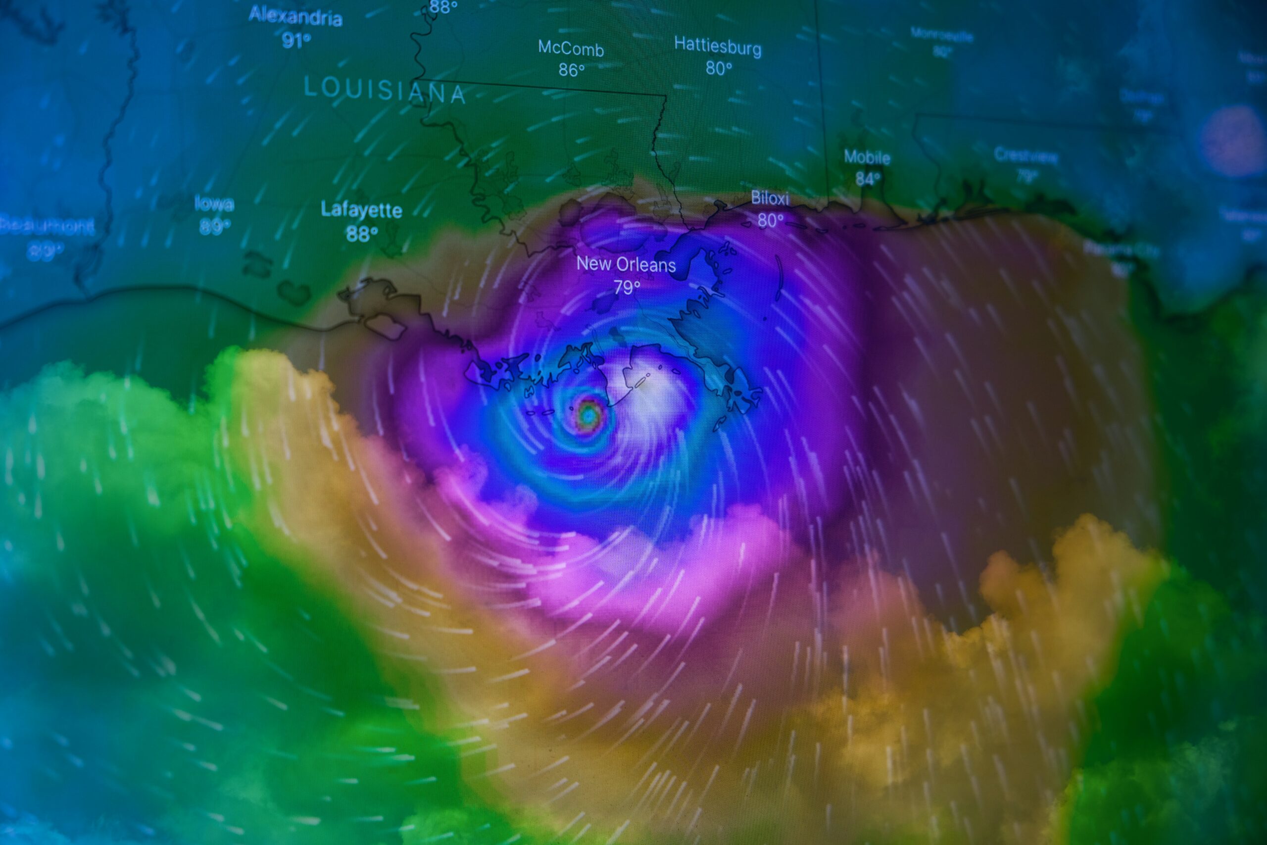
Photo by Brian McGowan on Unsplash
Winter storm warning
As winter unfolds its icy grip, New England is bracing for a significant winter storm that is forecasted to sweep across the region. With predictions of considerable snowfall and harsh ice conditions, this weather event is expected to disrupt travel, particularly during the crucial school winter vacation week and the Presidents Day weekend. Winter storms in New England can be severe, with the potential for hazardous road conditions and power outages. As families prepare for holiday plans, the impending weather shift raises concerns for both travel safety and outdoor activities.
This storm is anticipated to commence in the coming days, with meteorologists warning of a mixture of snow, sleet, and rain, depending on the specific areas affected. The timing of this storm coincides with a period when many families travel, making it imperative to stay updated on weather forecasts and road conditions. Various communities in New England could experience differing effects, ranging from light snow in coastal areas to heavy snowfall in the northern hinterlands. The variability of this winter storm emphasizes the need for preparedness among residents.
Weather warnings have already begun to circulate, urging individuals to exercise caution when planning travel during this period. It is a crucial time for communities to share information on road conditions and potential closures, particularly for those who may be heading to ski resorts or other winter destinations. As the forecast evolves, it will be crucial to monitor updates from local authorities and meteorological services to ensure the safety of any winter activities. Overall, this winter storm serves as a reminder of the challenges posed by New England’s climate during this time of year.
Storm Overview
A significant winter storm is forecasted to affect New England, primarily due to a low-pressure system developing over the region. This system originated as a result of colder air from the north colliding with warmer, moisture-laden air from the south. As this dynamic interaction takes place, it gives rise to the potential for severe weather conditions, including heavy snowfall and ice accumulation that could affect travel and safety across the impacted areas.
Predictive models indicate that the storm will enter northwestern New England, bringing with it a combination of rain, sleet, and snow. The atmospheric conditions suggest that as the low-pressure system progresses eastward, it will harness significant moisture, leading to the intensification of the storm. Meteorologists are particularly attentive to its track, as slight changes in the storm’s path could have drastic implications for the areas most affected by its arrival.
The storm is expected to commence with rain in the southern portions of New England, transitioning to freezing rain and then snow as colder air moves in. The snow is anticipated to accumulate quickly, potentially leading to hazardous road conditions and power outages due to the weight of the ice and snow. Forecasters are particularly cautious about this storm because conditions are ripe for significant snowfall totals, especially in higher elevations. As the weather system travels along the northeastern coast, it is likely to produce blizzard-like conditions in some locales, exacerbating the potential for widespread disruptions.
Overall, as this winter storm approaches, residents of New England should prepare for the possibility of severe weather, including extensive snow and ice. Staying informed about weather updates and adhering to safety recommendations will be crucial in managing the impact of this incoming system.
Timing of the Storm
The impending winter storm is poised to significantly impact New England, particularly with snow and ice anticipated to begin late in the afternoon. Initially, residents can expect dry and cloudy conditions throughout the early hours of Saturday. However, as the day progresses, the atmosphere will begin to shift dramatically. Around 6 p.m., snowfall is expected to commence in Boston, marking the transition from mere overcast skies to a full-blown winter weather event.
As the evening unfolds, initial snowfall will likely be light, primarily affecting the Boston metropolitan area. This light snow is expected to gradually increase in intensity as the night progresses. The forecast suggests that by midnight, snowfall could become moderate to heavy, particularly along the coastal regions. In addition to the snow, there will be a chance for sleet and freezing rain as warm air attempts to infiltrate the colder air mass in place. Such a clash of temperatures could lead to a messy mix of winter precipitation, resulting in hazardous road conditions.
On Sunday, the storm system will continue to evolve, with heavy snowfall persisting for many locations across New England into the early afternoon hours. The highest accumulation rates are predicted to occur during this window, with the potential for blizzard-like conditions in certain areas. As the storm begins to wane, residents can anticipate a transition to lighter snow or rain later in the day. Overall, the timing of this winter storm underscores the need for preparedness, as snow may continue throughout the weekend, affecting travel and daily activities across the region.
Snowfall Predictions
The winter storm poised to impact New England is anticipated to bring significant snowfall, with varying accumulation rates across the region. Meteorologists have projected snowfall amounts of 0.5 to 1 inch per hour at peak storm intensity. This accumulation rate will likely continue throughout the duration of the storm, leading to substantial totals by the time conditions improve.
In northern areas of New England, such as Vermont and New Hampshire, the predictions point towards the highest accumulation due to the elevation and colder temperatures that will facilitate heavier snow. Residents in these regions could foresee totals approaching 18 to 24 inches, especially in the mountainous areas where orographic lift will enhance precipitation rates.
Conversely, further south in regions like Massachusetts and Connecticut, snowfall amounts are expected to be somewhat lower, with predictions indicating totals ranging between 8 to 16 inches. Coastal areas might experience a mix of rain and snow due to warmer temperatures, leading to lower snow accumulations. This transition could result in significant differences in impacts within relatively short distances, as towns closer to the coast might see fewer impacts compared to those inland.
Additionally, western regions could face challenging weather conditions as well. Areas like western Massachusetts and parts of upstate New York are likely to receive snowfall totals closer to those seen in northern New England, potentially attracting the attention of local emergency management agencies due to associated hazards such as road closures and travel warnings.
Overall, as the storm unfolds, the accumulation of snow across New England will not only dictate travel conditions but also influence safety measures taken by local authorities to manage the impact on communities. Preparedness and awareness will be crucial for residents as they navigate the forthcoming weather challenges.
Transition to Ice and Rain
As a winter storm progresses, a notable shift in weather dynamics can be observed across southern New England. The onset of warm air, which is expected to infiltrate the region, will instigate a transition from snow to sleet and finally to freezing rain by Sunday morning. This meteorological change carries significant implications for both road conditions and overall safety.
Initially, areas that have experienced snowfall will begin to witness a gradual melting process as warmer air overrides the frigid temperatures at the surface. While this may seem beneficial at first glance, the introduction of sleet can create a mixture of precipitation that complicates travel. Sleet, being partially frozen, can result in slippery and hazardous road conditions, increasing the likelihood of accidents. Motorists are advised to exercise heightened caution during this phase, as bridges and overpasses tend to freeze first, resulting in unexpected black ice.
Following sleet, the further warm air influx will lead to the occurrence of freezing rain. This weather phenomenon can coat surfaces with a layer of ice, which poses even greater dangers. Streets, sidewalks, and driveways may become treacherously slick, significantly impairing mobility. In addition to the risks posed to vehicles, pedestrian travel may also be adversely affected. Individuals venturing outside should be mindful of potential slips and falls and consider using proper footwear to navigate icy conditions.
Furthermore, utility infrastructures, such as power lines and trees, are susceptible to ice accumulation, which can lead to downed power lines and outages. Hence, residents should remain vigilant and prepared for possible disruptions as conditions evolve. Monitoring local weather updates is crucial during this transition phase to ensure safety measures are adequately implemented.
Ice Accumulation Forecast
As weather patterns evolve, the anticipated ice accumulation for New England in the coming winter storm is projected to range from 0.2 to 0.3 inches. This forecasted accumulation raises significant concerns, particularly in areas situated outside of Interstate 495, where conditions may be exacerbated due to various geographical and infrastructural factors. The impending ice may lead to hazardous conditions that affect both travel and infrastructure stability.
Areas likely to experience this level of ice accumulation include parts of northern Massachusetts, as well as central and western regions. The freezing rain is expected to create a dangerous glaze on the roadways, resulting in difficult driving conditions. Travelers should be aware that not only will the roads be slippery, but visibility may also be hampered due to adverse weather conditions. Accordingly, it is advisable for motorists to exercise extreme caution if they must venture out during the storm, distributing travel time and evaluating route options carefully.
Moreover, critical infrastructures, such as public transport systems and utility networks, may be impacted. With ice forming on power lines and trees, there exists a heightened risk of infrastructure failure, including power outages. The weight of the accumulated ice can easily cause branches to snap or power lines to sag, which may lead to service disruptions. Residents in the impact zones should prepare for possible outages and have contingency measures in place, such as emergency kits and communication plans, to navigate through potential inconveniences.
This ice accumulation forecast underscores the importance of staying informed and prepared as New England braces for the looming winter storm. Monitoring local advisories can provide updated information regarding travel conditions and safety measures.
Rainfall Impacts
This upcoming winter weather event is expected to deliver significant rainfall to Boston and the surrounding areas on Sunday afternoon. Meteorological forecasts indicate that the region could see anywhere from two to four inches of rain over a short period, creating conditions ripe for flooding and complicating the usual winter weather scenarios. As the heavy rain falls, the combined effects of saturated grounds from prior precipitation may exacerbate the flooding risk, particularly in low-lying areas and urban centers where drainage systems may struggle to cope with the influx of water.
The dynamics of this storm are of particular concern, as it will be accompanied by warmer temperatures that may lead to rapid snowmelt in some regions. This melt, coupled with the expected rainfall, poses a dual threat: localized flooding as water accumulates on roadways and potentially rising rivers and streams downstream. Emergency services and municipalities are being urged to prepare for the impacts associated with such weather, which will likely include road closures and disruptions in public transport as conditions deteriorate throughout the afternoon and into the evening.
Interaction of Low-Pressure Systems
The formation and movement of low-pressure systems play a crucial role in shaping winter weather dynamics, particularly in regions such as New England. When a surface low develops around Long Island, it significantly influences the atmospheric conditions necessary for snow and ice storms. This localized low-pressure area can lead to complex interactions with existing weather patterns, including other low and high-pressure systems in the vicinity.
As the surface low strengthens, it draws in moisture-laden air from the Atlantic Ocean. This influx of moisture is vital for storm development, often resulting in significant snowfall. However, the presence of a low-pressure area can also lead to the creation of a dry slot—a region of significantly reduced precipitation—within the storm’s structure. This phenomenon occurs as the warm air associated with the low-pressure system overrides the colder air at the surface, leading to a shift in the precipitation type and intensity.
The dry slot can have important implications for snow and ice accumulations in the New England region. While some areas may experience heavy snowfall as the storm progresses, others may find themselves under the influence of this dry pocket, resulting in reduced snowfall totals. Consequently, the interplay between the incoming moisture and the dry slot can create a complex tapestry of weather conditions over relatively short distances, posing challenges for both meteorologists and residents alike.
Moreover, the ice accumulations that result from freezing rain events are also influenced by the movements of these low-pressure systems. As the temperature profiles fluctuate due to the presence and movement of the low, areas that experience the transition from snow to rain can see significant ice build-up, complicating travel and increasing the risk of power outages.
Understanding the interaction between low-pressure systems and their subsequent effects on precipitation type and accumulation is essential for accurate weather forecasting and preparedness in the face of winter storms.
Travel Advisories
The upcoming snow and ice storm set to impact New England presents potential challenges for residents and travelers alike. With forecasts indicating significant snowfall and the possibility of icy conditions, it is crucial for everyone in the region to stay informed about the developments. The severity of the storm not only disrupts usual travel routines but can also create hazardous conditions that may affect safety when navigating roads and sidewalks.
Travelers should account for potential delays and cancellations during this winter event. It is advisable to check with local weather services for updated forecasts and heed any warnings issued by authorities. Those planning to travel during the busy Presidents Day weekend should consider adjusting their schedules or making alternate arrangements if possible. This proactive approach is essential to mitigate risks associated with snow and ice accumulation, which can lead to difficult driving conditions and increased chances of accidents.
In preparation for this winter storm, individuals are encouraged to equip themselves with essential supplies, including food, water, and necessary medication, to ensure well-being during expected disruptions. Additionally, it is wise to avoid unnecessary travel when conditions worsen. Should travel be unavoidable, ensure vehicles are winter-ready with adequate fuel, appropriate tires, and emergency kits. By taking these precautions, individuals can enhance their safety and manage their plans effectively during the impacted time period.
Ultimately, being well-prepared and informed will enable residents and visitors in New England to navigate the complexities posed by the snow and ice storm with greater confidence. Proper measures will ensure a safer experience throughout this winter season.


