High Wind Warning in N.J. Counties: What You Need to Know
High Wind Warnings
High wind warnings are critical alerts issued by weather authorities to inform the public about expected sustained winds that may pose a risk to life and property. These warnings typically come into effect when sustained wind speeds reach or exceed 40 miles per hour, or when gusts are forecasted to exceed 58 miles per hour. The announcement of a high wind warning can often accompany other severe weather advisories, including advisories for thunderstorms or tornadoes, and serves as a vital component of overall public safety during adverse weather events.
Understanding the criteria and implications of a high wind warning is essential for residents, particularly in regions like New Jersey, where strong winds can result in hazardous conditions. Often, when these warnings are in effect, concerns arise related to downed trees, power outages, and flying debris, all of which can create dangerous situations. The significance of these warnings goes beyond merely alerting the public to inclement weather; they encourage individuals to take necessary precautions to safeguard themselves and their property.
During periods of high wind warnings, it is prudent for residents to stay informed through reliable weather sources, such as the National Weather Service, local news, and weather applications. Monitoring updates and understanding the potential impact of these conditions can better prepare individuals for emergencies. In an age when severe weather is increasingly common, familiarity with high wind warnings and their meanings can make a significant difference in ensuring personal safety and minimizing property damage.
In summary, high wind warnings are essential notifications summarizing severe wind conditions that can impact various aspects of daily life. Recognizing the seriousness of these alerts and reacting appropriately is crucial in promoting safety during tumultuous weather episodes.
Affected Areas
The recent high wind warning has been issued for several counties in New Jersey, specifically Monmouth, Cape May, Atlantic, and Ocean counties. Each of these regions exhibits unique geographical characteristics that can significantly affect wind patterns and the overall severity of weather conditions. Understanding these factors is essential for residents to prepare adequately and respond effectively to the impending weather challenges.
Monmouth County, located along the northern part of the Jersey Shore, features a mix of coastal and inland topographies. The presence of open water can amplify wind speeds, particularly during storms. This maritime influence can create localized gusts that may reach hazardous levels, necessitating vigilance in coastal areas. Additionally, the urban centers nestled within Monmouth can serve as wind tunnels, enhancing the force of wind gusts as they navigate through the built environment.
Moving south, Cape May County, renowned for its picturesque beaches, similarly experiences the effects of its coastal setting. The landscape is relatively flat, allowing winds to travel freely over the terrain, which can increase the intensity of any high wind warnings issued. This characteristic, combined with storm surges that can accompany high winds, poses a unique risk to property and infrastructure in this region.
Atlantic County, home to the city of Atlantic City, is bordered by the Atlantic Ocean and several inland waterways. The interaction between the ocean and the land can lead to unpredictable wind patterns, further complicating storm planning and response efforts. Finally, Ocean County, encompassing both Pine Barrens and coastal areas, features varied elevations and land uses. The lush forests found inland may dampen winds somewhat, but the coastal areas are susceptible to direct oceanic influences, similar to the other counties.
In summary, the high wind warning encompasses Monmouth, Cape May, Atlantic, and Ocean counties, each impacted by their individual geographical traits, which can exacerbate wind conditions. Residents are advised to remain alert and informed as conditions evolve.
Timing and Duration of the Warning
The National Weather Service (NWS) issues high wind warnings to alert residents of impending adverse weather conditions. In New Jersey, the timing of these alerts is crucial, encompassing specific start and end times that dictate the necessary precautions residents should take. Typically, a high wind warning indicates sustained winds of 40 miles per hour or higher, or gusts that exceed 58 miles per hour, and these warnings can enter effect with limited advance notice.
In the recent alerts for several counties across New Jersey, the warnings were scheduled to begin during the late afternoon hours and extend into the evening, with specific timelines published in the NWS updates. Such precise timing plays a vital role in effective community preparedness. Awareness of these timeframes allows residents to secure outdoor items, prepare for possible power outages, and assess personal safety protocols. The longer the duration of the high wind warning, the greater the potential for property damage and associated hazards. Understanding when these conditions are expected to be most severe can help mitigate risks to life and property.
During the active period of the high wind warning, conditions are expected to be unpredictable, characterized by sudden gale-force winds that may impact travel and local infrastructure. Residents are encouraged to regularly monitor weather updates as conditions can change rapidly. Following the conclusion of the warning period, it remains important to remain alert to lingering safety concerns, such as downed power lines or debris in public spaces. Preparation before, vigilance during, and assessment after the warning are essential steps to ensure the safety of residents and their surroundings.
Wind Patterns and Expected Conditions
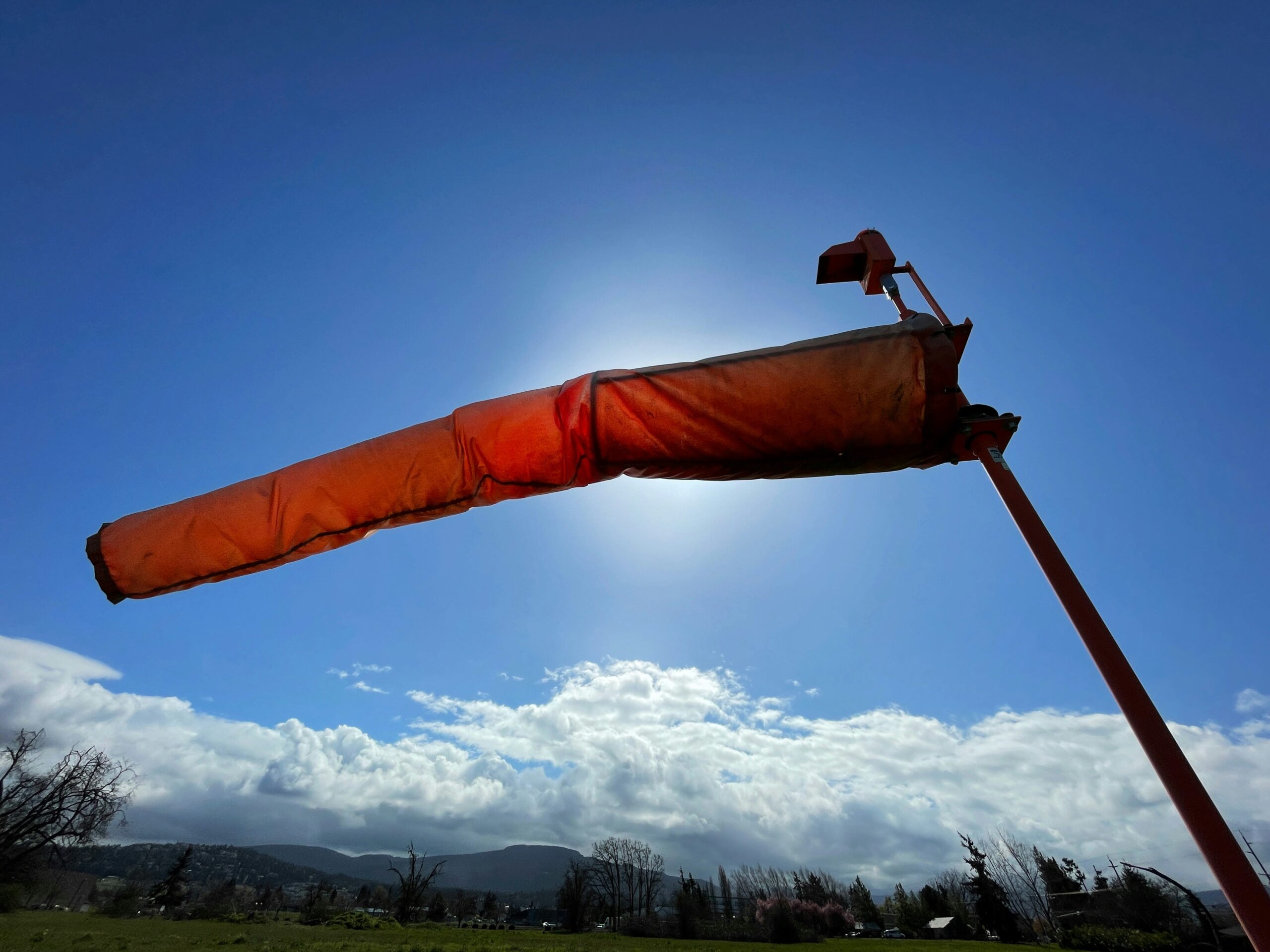
In the context of severe weather events, understanding wind patterns is crucial. A high wind warning signifies that sustained winds are expected to be in the range of 25 to 35 miles per hour, with gusts potentially reaching as high as 60 miles per hour. Such wind speeds can create hazardous conditions that pose a threat to both life and property. These strong winds can uproot trees, damage infrastructure, and generate flying debris, which increases the risk of injury and accidents.
The development of powerful winds typically occurs due to a combination of atmospheric pressure systems. When a low-pressure system moves in, it creates a stark contrast with the surrounding high-pressure areas. This discrepancy results in air rushing from the high-pressure zone to fill the void left by the low-pressure system. Consequently, the increased pressure gradient accelerates wind speeds, often leading to severe weather alerts, such as a high wind warning in the affected regions.
The predicted gusts reaching up to 60 mph are particularly alarming. Such high wind speeds can lead to localized damage, such as downed power lines and obstructed roadways, making travel increasingly difficult and dangerous. Wind patterns can also lead to complications in aerial operations, as aircraft may encounter sudden turbulence when taking off or landing. Moreover, the wind can exacerbate fire risks by spreading flames rapidly across dry landscapes, highlighting the importance of safety measures in the face of these extreme conditions.
To mitigate the risks associated with a high wind warning, residents should remain vigilant and take necessary precautions, including securing outdoor items and being mindful of travel conditions. In preparation for anticipated wind events, understanding the science of wind patterns and potential dangers is essential for safety and preparedness.
Risks and Dangers of High Winds
High winds can pose significant risks to safety and property, particularly during severe weather events such as hurricanes, storms, and tornadoes. One of the most immediate dangers of high wind warnings is the potential for downed trees and power lines. In many cases, strong gusts can uproot trees or break branches, leading to hazardous conditions on roadways or in residential areas. When trees fall on power lines, it often results in widespread power outages, affecting communities for extended periods of time. These outages not only disrupt daily life but can also pose health risks, especially for those reliant on electricity for medical equipment.
Another critical hazard associated with high winds is flying debris. Loose objects such as patio furniture, garden tools, or even construction materials can become lethal projectiles when propelled by gusts of wind. Individuals outdoors, or even in vehicles, are particularly vulnerable to these unexpected dangers. It is advisable to secure any loose items outdoors to mitigate this risk, as well as to stay indoors during severe wind events.
Traveling during high wind warnings can also be perilous, especially for high-profile vehicles such as trucks, buses, and SUVs. These vehicles are more likely to be affected by strong gusts, resulting in challenges controlling the vehicle. The risk of rollover accidents may increase, urging drivers to exercise caution and, in many cases, avoid travel during such weather conditions. Local authorities may impose restrictions on certain roadways or vehicle types when warnings are issued to ensure public safety.
In conclusion, understanding the risks associated with high wind warnings is essential for maintaining safety during such weather events. Being informed and prepared can help individuals and communities mitigate the dangers posed by high winds.
Safety Precautions to Take
When a high wind warning is issued, it is crucial for residents to take necessary precautions to ensure their safety. First and foremost, individuals should seek shelter indoors, preferably in the lower levels of their homes. This is particularly important during severe wind events where gusts can reach dangerous speeds. The lower levels, such as basements, provide a more stable environment and minimize exposure to potential debris.
During high wind events, windows pose significant risks. Therefore, it is advisable to avoid areas near windows and, if possible, stay in interior rooms away from glass. The force of powerful winds can shatter windows, leading to injuries from flying glass shards. Furthermore, it is important to secure all windows and doors before the onset of high winds to mitigate potential damage.
Residents should also be cautious of falling tree limbs and flying debris. Trees can become hazardous during storms as strong winds can uproot or break branches, posing risks to anyone outside. It is essential to monitor local weather updates and stay informed about locations prone to falling limbs, especially if they are near homes or frequently used public areas.
In addition to personal safety, it is wise to prepare emergency supplies in advance. These supplies might include flashlights, batteries, non-perishable food, and a first aid kit. Having these items readily available can significantly aid in responding to power outages or other emergencies created by high winds.
Lastly, maintaining awareness of your surroundings and remaining indoors until the high wind warning has been lifted is vital. Following local authorities’ guidance and safety recommendations can help ensure not only personal safety but also that of the community at large.
Travel Considerations During High Winds
When a high wind warning is issued in New Jersey, travel safety becomes a paramount concern for all motorists. Windstorms can create hazardous conditions, particularly for drivers of larger vehicles such as trucks, SUVs, and vans. These vehicles are more susceptible to being affected by high winds due to their size and shape, which can disrupt their control on the road. It is crucial for drivers to exercise heightened awareness and caution when navigating such conditions.
Firstly, it is advisable for all motorists to closely monitor weather reports before making travel plans. In cases where high winds are predicted, reconsidering the necessity of travel should be a top priority. If travel is unavoidable, those driving larger vehicles should be especially vigilant; they may need to adjust their speed and maintain a greater following distance to compensate for potential loss of control. Additionally, keeping both hands firmly on the steering wheel is crucial for maneuverability in turbulent winds.
Moreover, travelers should remain aware of their surroundings. Falling debris, such as tree branches or loose objects, may pose a significant threat to vehicles during high wind events. It is preferable to avoid roads that are heavily lined with trees or structures that could collapse under strong gusts. If conditions become severe, seeking shelter until the storm passes is a safe alternative to continued travel.
In any case, ensuring that your vehicle is well-maintained is always advisable. Tire pressure, fluid levels, and wiper functionality should be checked to ensure optimal performance under challenging conditions. Adapting travel plans in response to evolving weather conditions can significantly enhance safety during a high wind warning.
Community Resources and Support
During high wind warnings in New Jersey, it is crucial for residents to be aware of the community resources and support services available to them. These resources can play a vital role in ensuring safety and providing assistance during severe weather events. Local emergency management agencies are essential contacts; they coordinate the response to such warnings and offer updates on the storm’s progress and required safety measures.
Residents are encouraged to familiarize themselves with the local emergency services, which will typically include police, fire, and medical services. In the event of fallen trees, downed power lines, or other severe hazards, these teams are equipped and trained to respond swiftly. Additionally, residents should stay informed about public safety announcements through local news channels and official social media pages.
It is also advisable for individuals to have the contact information for their utility companies readily available. High winds can lead to power outages, and it is essential to report outages promptly for timely restoration of service. Most power companies provide specific numbers or applications for reporting disruptions and often offer outage maps to keep the public informed about the status of electricity restoration efforts.
Furthermore, community centers may operate as shelters during extreme weather conditions. These facilities can provide a secure environment for those displaced from their homes due to the impacts of high wind warnings, such as structural damage. Residents should reach out to local government websites or community bulletin boards to identify designated shelters, their locations, and operating times. By utilizing these resources effectively, individuals can better navigate the challenges posed by high winds and ensure their safety and well-being during these events.
Conclusion and Staying Updated
In conclusion, understanding a high wind warning is crucial for maintaining safety and preparedness during adverse weather conditions in New Jersey. Such warnings signify that dangerous winds are imminent or already occurring, necessitating that residents take necessary precautions to safeguard their lives and property. Compliance with directives issued by local weather services is vital, as these professionals provide timely updates and vital information related to wind advisories and warnings.
To stay informed during periods of high wind warnings, individuals should regularly check trusted weather sources, such as the National Weather Service and local news outlets. In addition to traditional methods, there is an array of digital tools available, including mobile weather apps and social media platforms, which can deliver real-time updates on changing weather conditions. Setting up alerts through these applications ensures that you receive prompt notifications about any elevation in wind warnings or the issuance of new advisories.
Preparation for future high wind events includes securing outdoor items that could become projectiles and ensuring that vehicles are parked in safe locations away from trees or structures that may fall. It is also advisable to have an emergency plan in place, which includes knowing evacuation routes and having necessary supplies on hand, such as food, water, and first-aid supplies, to ride out periods of severe weather safely. By staying updated and prepared, residents can mitigate risks associated with high wind conditions and enhance their overall safety during such weather phenomena.